|
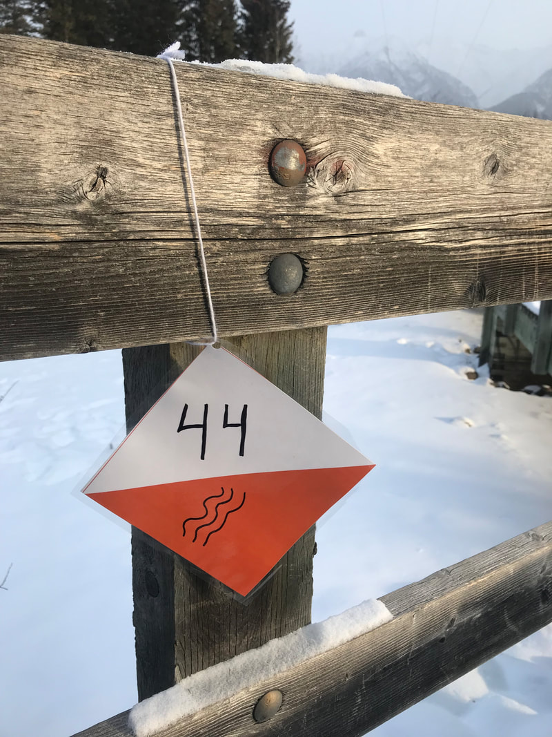
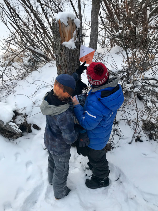
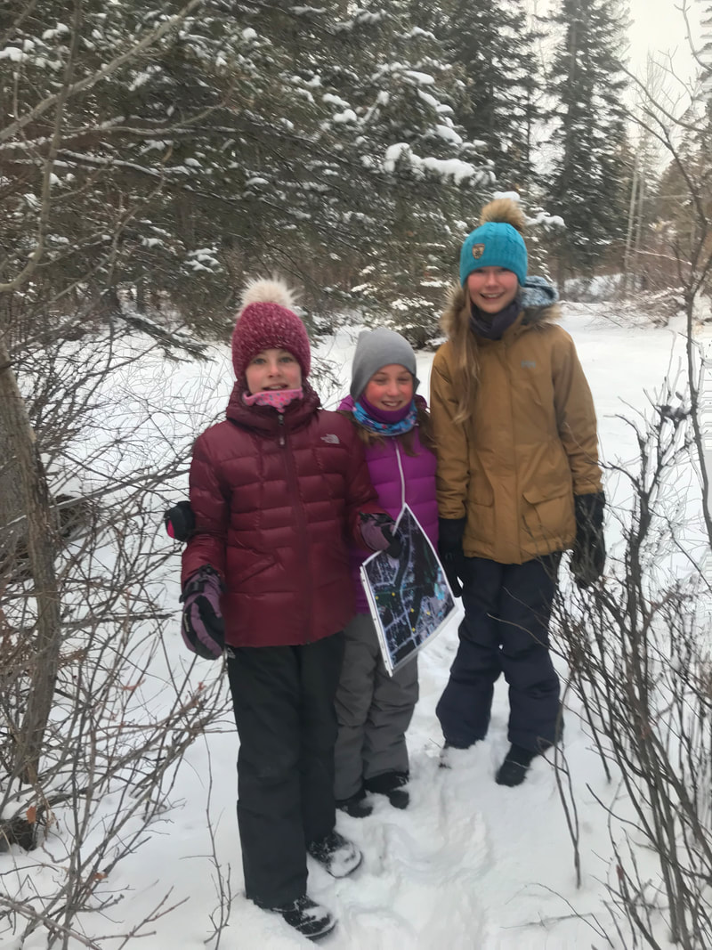
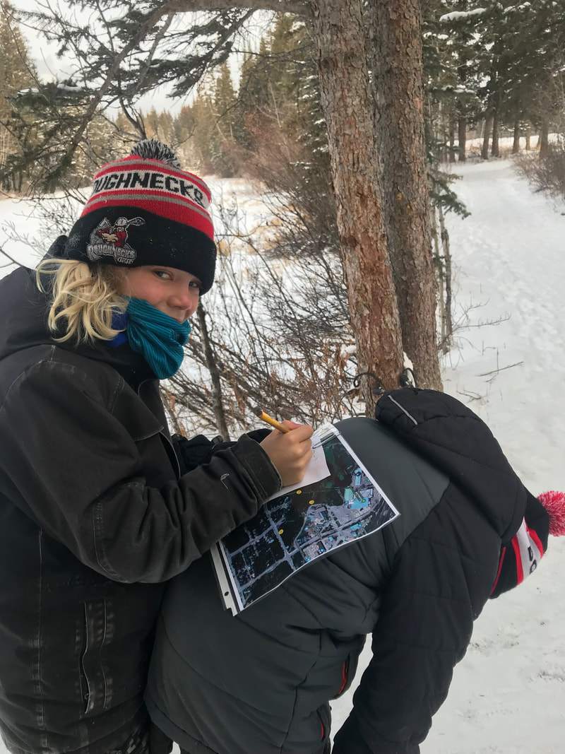
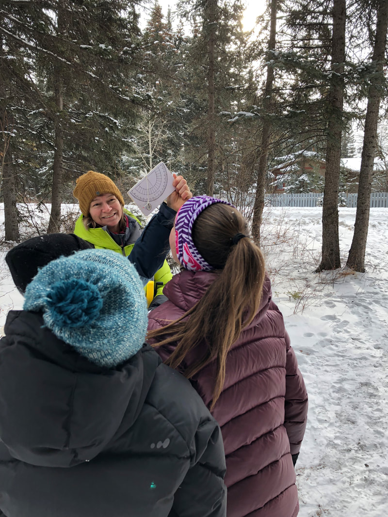
With Andrea Barnes, Alpenglow School's Nature Immersion Specialist One of my favourite nature activities to do with students has to be exploring nature with maps, designing our own maps, and orienteering. This month the Grade 5/6 class did an orienteering course and mapping exercise through the Alpenglow forest and Lions Park. We were integrating their math geometry block into this outdoor learning experience. We (Ms.Erica and I) expected these students to excel at this task. They are a fit group of kids, they are excited about taking on independent challenges, and they know this area exceptionally well. What I didn’t expect, is to hear first hand, just how strongly connected they are to this learning place. The orienteering course was designed to take them to 5 stations and each pair of students had different markers they had to find and in various orders. They managed this task in record speed and found various ways in making the task even simpler by predicting what one marker must be if it needed to lead them to another (clever kids). The students were then tasked with collecting information for the design of their own maps. They measured the distances between markers (using different techniques), captured the height of the tallest trees using clinometres (and advanced trigonometry), and my favourite exercise, inventoried places and spaces they found worthy to put on their own map. What I learned from the student’s observations was that they have a unique and detailed knowledge of this landscape. One I don’t share, as it’s truly their space. It brought the concept of “place-based” learning to life for me and I got very excited. The kids shared stories of the squirrel tree, climbing tree, Hobbit hole, secret path, burly tree, tag pole, culvert area, the “creek town homes”… and the list went on. This intimate connection has obviously taken time to establish. Some of this class (the grade 6’s) produced 3D clay maps of the forest last year. They referred to this particular mapping exercise several times when they were brainstorming important features of an Alpenglow forest map. Their clay maps were still a powerful memory. Everyone shared something or somewhere they find important, to them, in the back forest. Now that’s special. It’s math, it’s science, it’s art...it’s learning in and from the land. Try it...if you want to see how well you know a place, draw it, sketch it...map it. Make a map for the best way to move through an area so someone dear to you could see all your favourite spots. The challenge is on... Comments are closed.
|
Nature-Based Learning is a main pillar of learning at Alpenglow SchoolFollow our students and teachers as they take their classrooms outside to explore, connect and learn in our own natural environment. Archives
December 2019
Categories |
 RSS Feed
|
|
Follow Us! |
|